Point roberts, washington

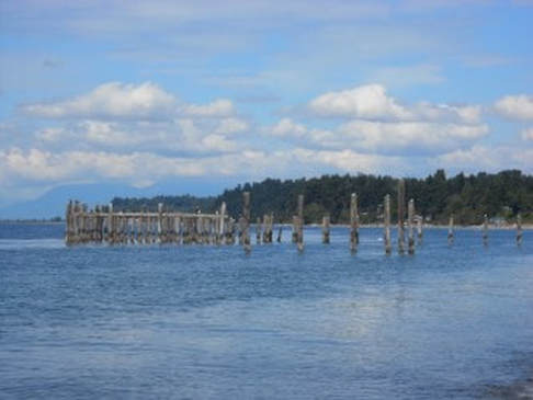
Point Roberts can be found on a map of North America at the Western end of the 49th parallel, which is the border between Canada and the United States. The five square-mile outcropping is surrounded on 3 sides by the Salish Sea, and shares a land border with Canada. To get here by car from mainland U.S. you have to cross the border in to Canada, drive 26 miles around Boundary Bay and re-enter the U.S. at Point Roberts. If you arrive by boat, we have a 1,000 boat capacity Marina, and a small airport. All those who arrive need a passport or other documents for border crossing.
Coast Salish people gathered here for centuries to fish and dry salmon for winter. They called it "Tceltenum" which, loosely translated, means " to dry salmon". European explorers arrived by ship in 1792. The Spanish explorers called it Isla de Cepeda. When they realized it was not an island, this was changed to Punta Cepeda. English explorer Captain George Vancouver renamed it Point Roberts to honor his good friend Captain Henry Roberts.
In the late 1880's canneries were being built to handle the migrating salmon catch and workers would be needed. Among the early settlers was a small group of Icelandic immigrants who moved in from Bellingham and Victoria in 1892. They bought little parcels of land, built homes and farms, and the Icelanders prospered. As canneries closed, jobs were scarce and residents had to move away to secure jobs.
With the demise of the fishing industry, the local economy turned to tourism. Quaint little cottages are owned mostly by Canadians, and the yearly population of 1300 swells to 5,000 or more during the Summer season. Offshore sandbars, swimming, fishing, boating, kayaking, and hiking offer a healthy lifestyle to residents and visitors alike. Each corner of the peninsula features a park with hiking trails and beach access. Restaurants, a large grocery store and an 18 hole golf course round out the menu.
You will find a few Icelandic descendants at the Point, catch a glimpse of an Icelandic horse or two and drive by the "huldufolk" rock if you are feeling a little homesick. Welcome to Point Roberts!


